農業部林業及自然保育署航測及遙測分署航拍任務 VR 體驗影片
VR Experience Video: Aerial Photography Missions by the Aerial Survey and Remote Sensing Branch, Forestry and Nature Conservation Agency, Ministry of Agriculture
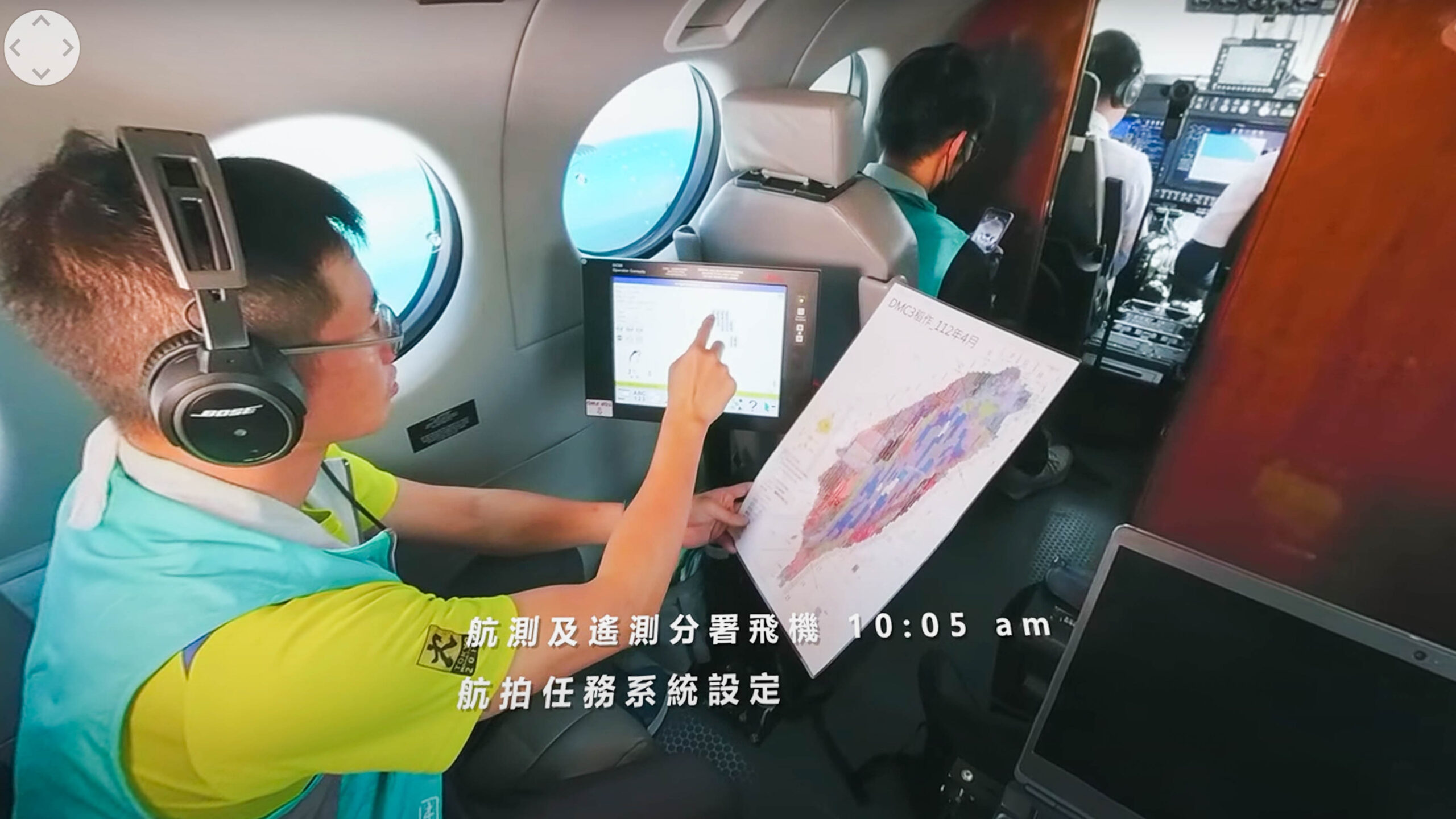
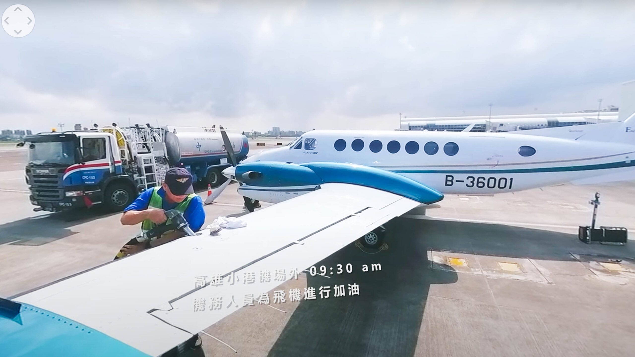
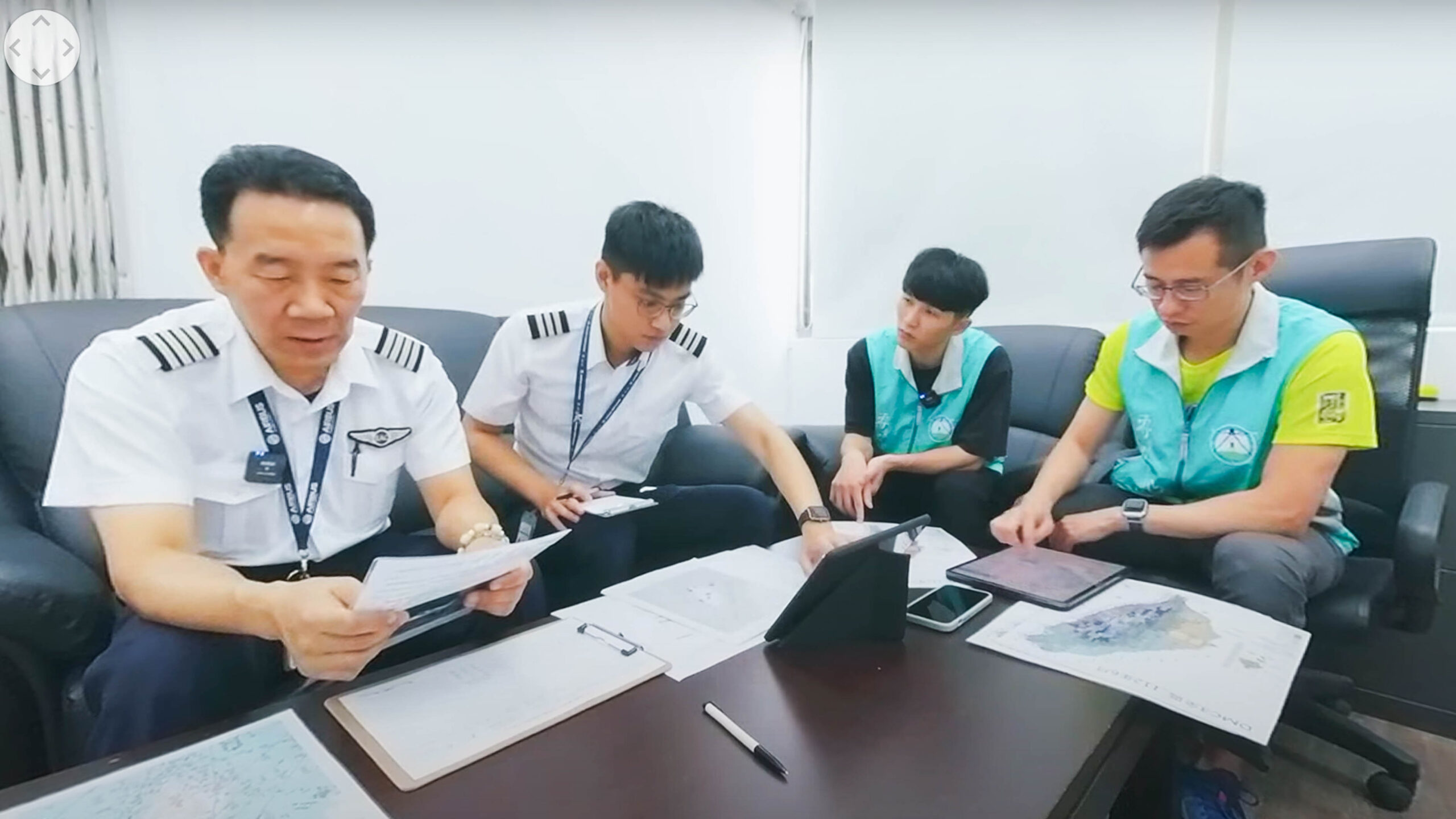
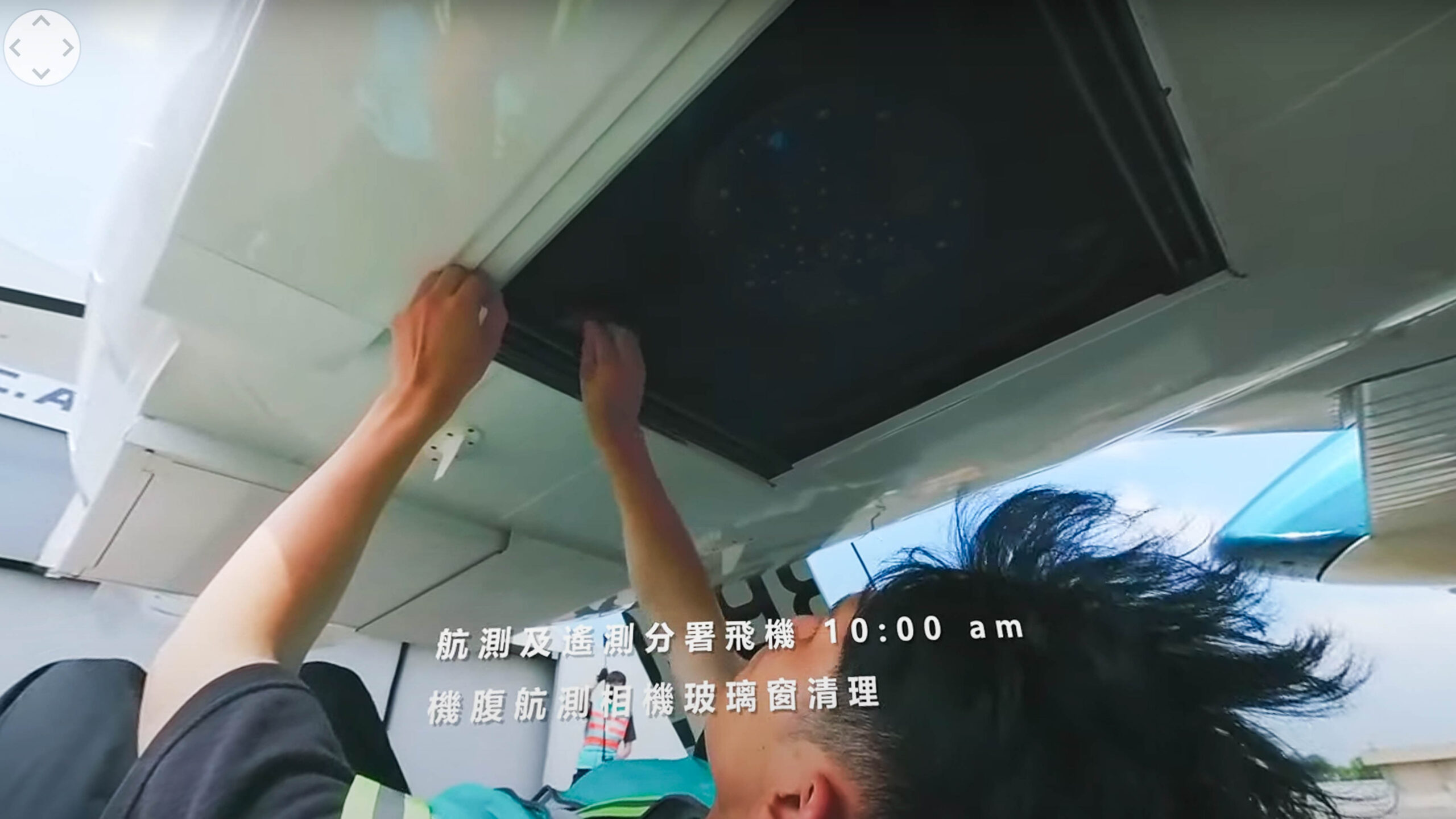
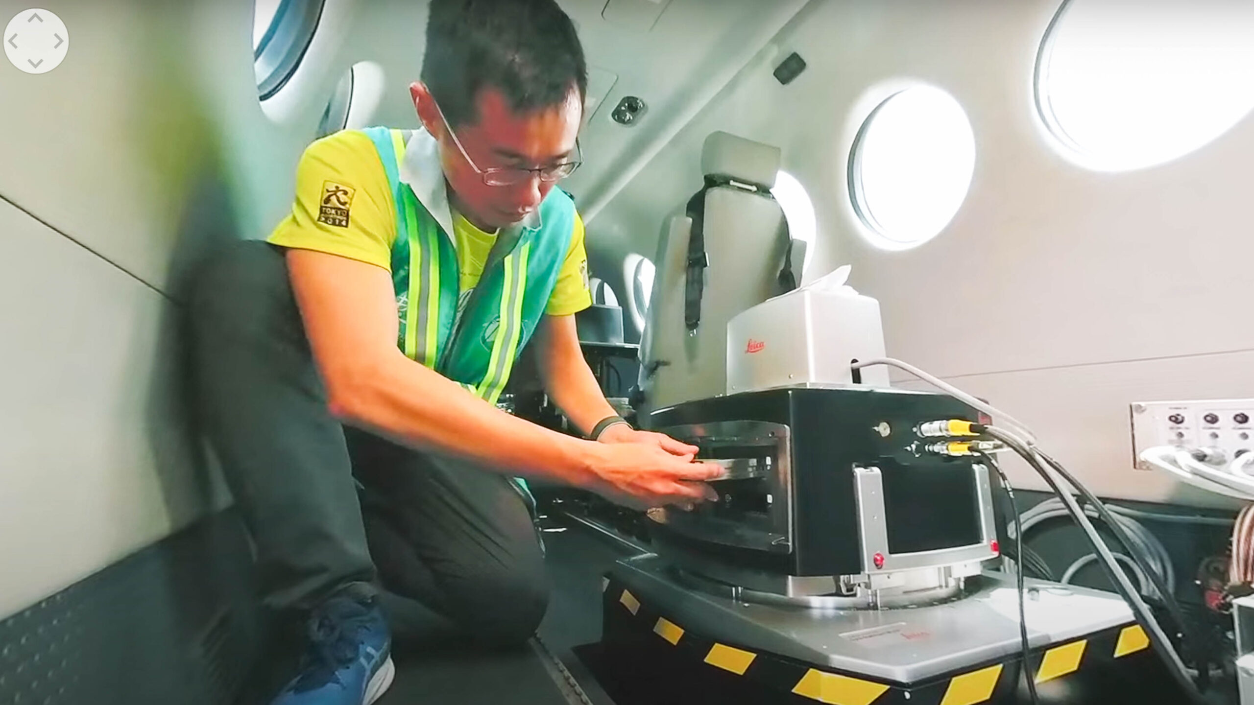
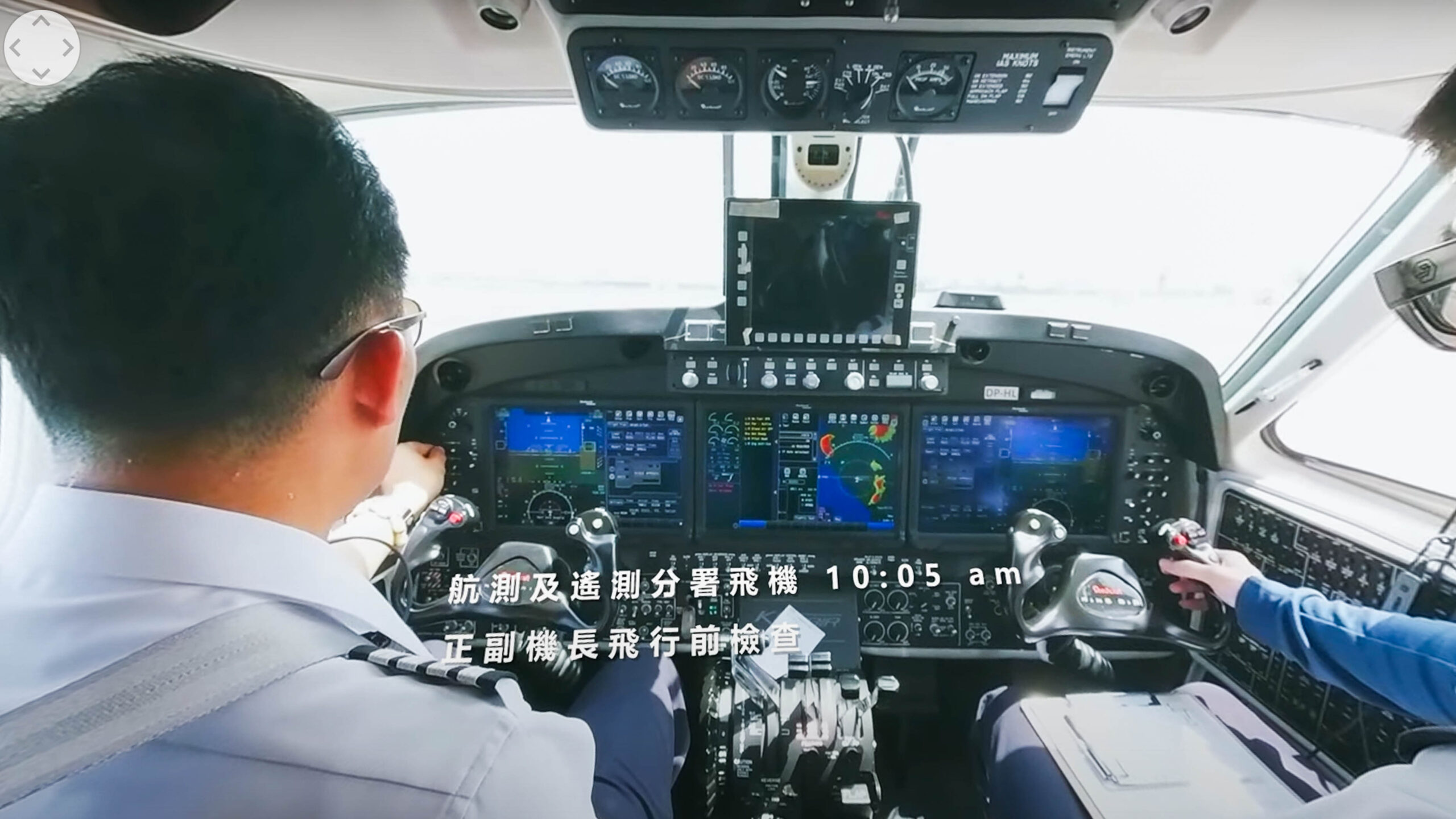
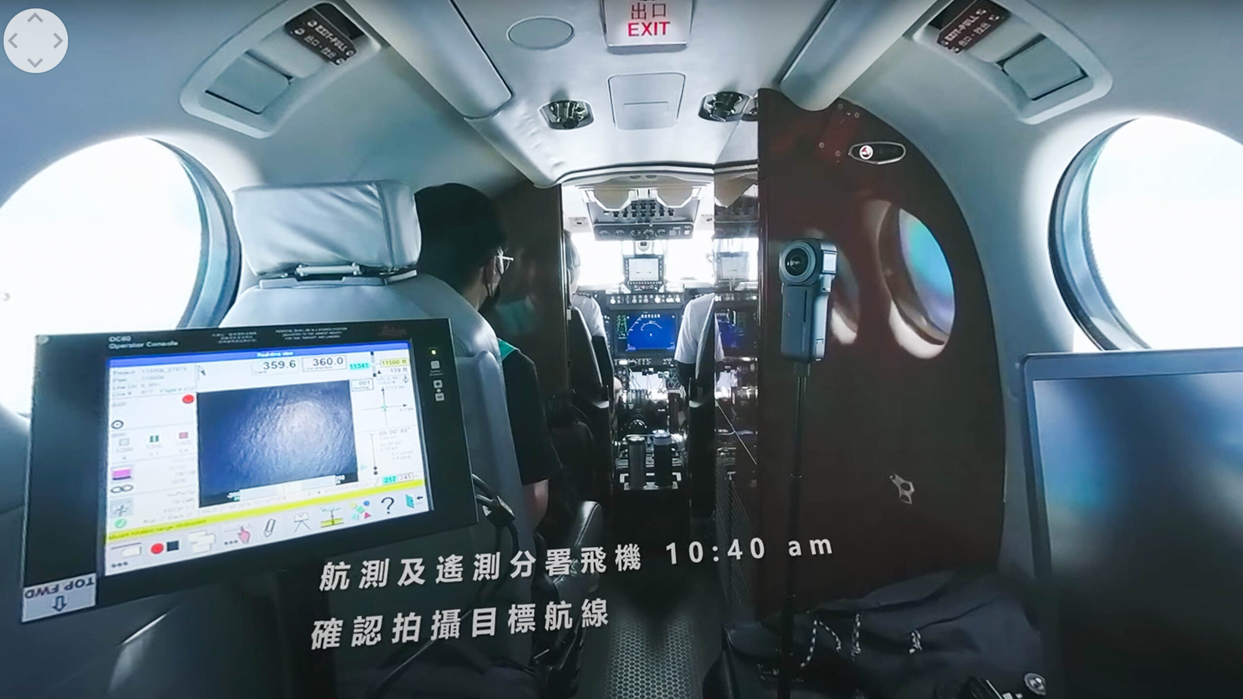
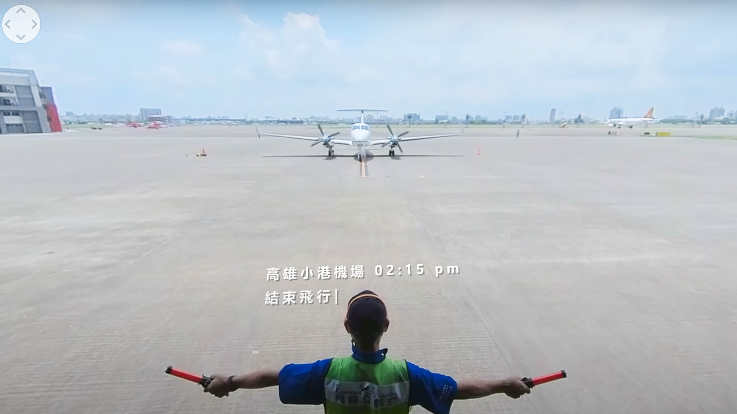
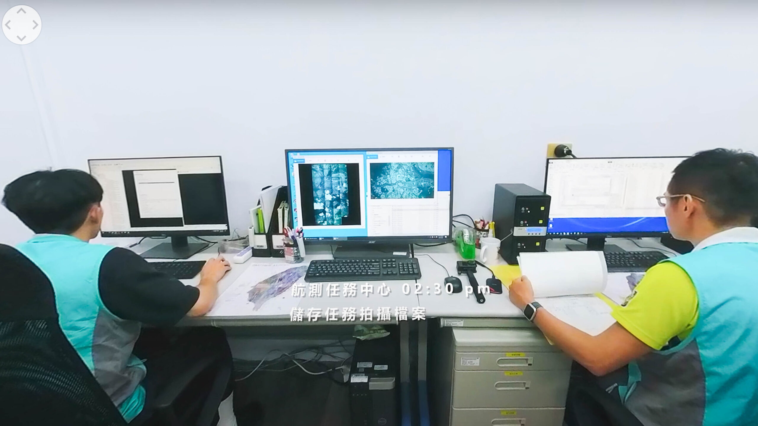
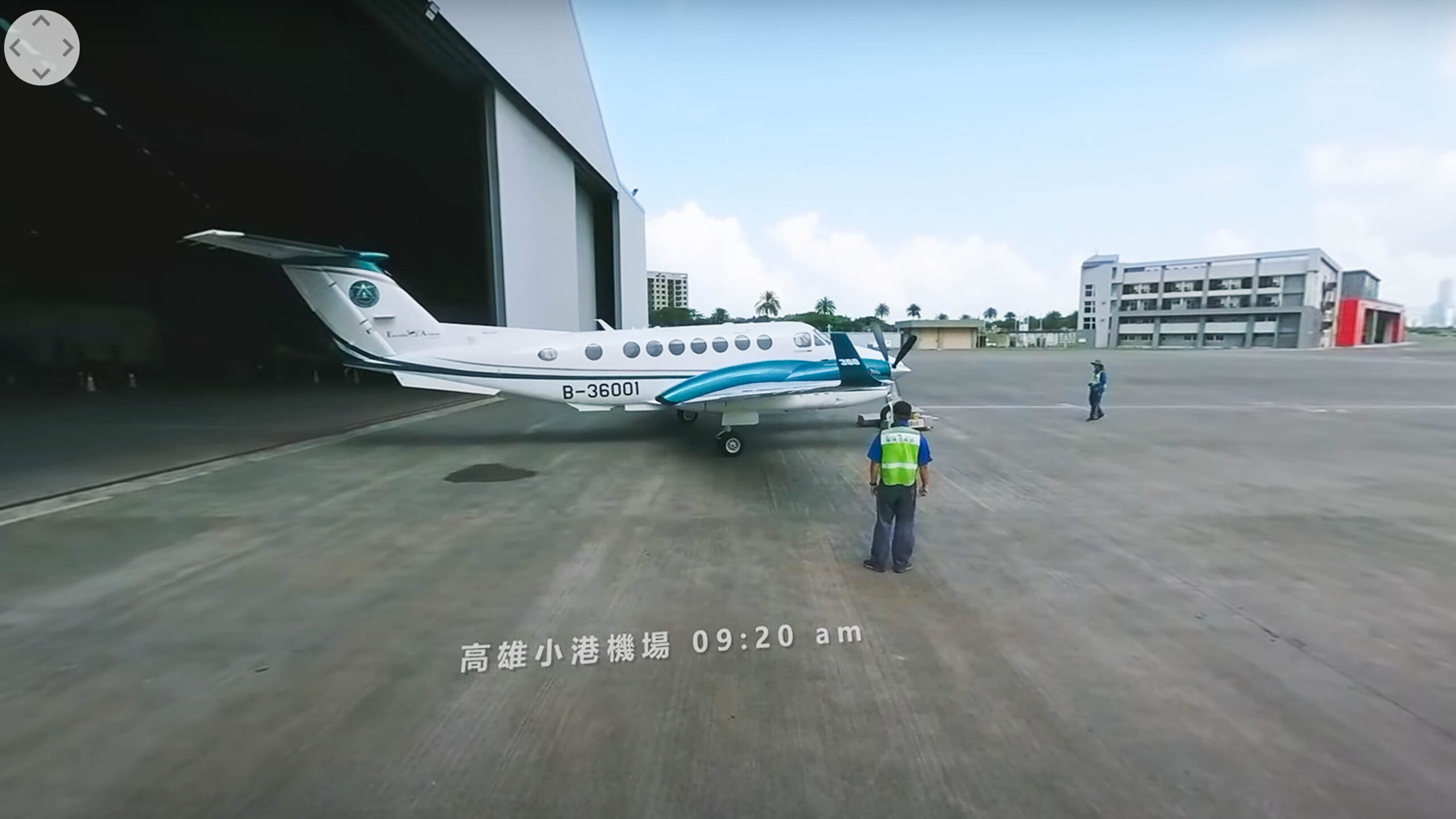
農業部林業及自然保育署航測及遙測分署為推動「國家航遙測飛機更新計畫」,引進了最新型的King Air 360 ER航遙測飛機,以高解析數位相機(Digital Mapping Camera Ⅲ)執行全臺及離島區域的航空攝影任務。藉由先進的POS定位定向系統,精確記錄影像拍攝位置與飛機姿態,大幅提升航拍任務的精確性與效率。好信欣策略此次配合機關要求採用360度環景VR拍攝方式,完整記錄飛行任務從地面規劃到空中拍攝的整個過程,讓觀眾透過沉浸式VR體驗,深入了解航拍任務的專業性與細緻度,真實感受飛行作業的現場氛圍與技術細節。本片有效展現航遙分署在航空攝影與遙測技術上的專業與前瞻性,進一步提高了其在國家保育與土地監測領域的專業形象。
The Aerial Survey Office of the Forestry and Nature Conservation Agency (Ministry of Agriculture) has introduced state-of-the-art King Air 360 ER aircraft equipped with Digital Mapping Camera III (DMC III) to conduct aerial photography missions throughout Taiwan, including offshore islands. Utilizing advanced Position and Orientation Systems (POS), the aircraft precisely captures location and orientation data at the moment of image exposure, significantly enhancing accuracy and efficiency. Bonafide Strategies innovatively employed immersive 360-degree VR filming techniques to comprehensively document the entire aerial photography mission, from meticulous pre-flight planning on the ground to precise airborne image acquisition. This VR experience offers viewers an unparalleled insider’s perspective into the professional rigor and technical intricacies involved in aerial surveying. The production effectively underscores the agency’s expertise and forward-thinking approach in aerial photography and remote sensing, strengthening its professional image in national conservation and environmental monitoring.
–
Creative : Bonafide Strategies
CF Production: Millennial Media
Director:Young Pan
Producer:Mattis Liu
Main Cameraman:Jack Lee, Weih Miao
Aerial Shot:Shieh-Chieh Chien
Assistant Photographer:Dyson Fang
3D Animation:Leo Chen
Post-Production:Mattis Liu, Weih Miao
BONAFIDE STRATEGIES CO. LTD.
統編 97617136
信箱 bonafidetaiwan@gmail.com
電話 0970-018-128